About this website
The motivation behind this research project was Paul Crump's interest in the rich history of the Bannockburn area and the lack of available written
reference material. The only published reference of any note was The Heart of the Desert by J C Parcell, first published in 1951 as part of the Otago
Centennial Historical Publications and reprinted by Whitcoulls Limited in 1976. Unfortunately this is not an easy book to read and has very
few maps or plans showing the various points of interest.
The main ambition of this study was to expand on the information covered by Parcell's book and to locate the historical sites on a map. With
no suitable maps available, Paul created a series of 13 hand-drawn maps. Sites of interest including dwellings, hotels, stores, mines and
dredges have been identified on these maps, along with topographical features such as local place names, water races and the development of the
roading network, including bridges and ferries.
Source of the Material
This study is derived from 'Evidence Based Research'. Over a period of 35 years (2016), information has been gathered by recording a vast amount
of oral history from a large number of long-time locals (many of whom have now sadly passed away) and by obtaining copies of their personal
documents, mining documents and photographs. The interviewing of relations of long-departed local families who now reside out of the area
or overseas, who were willing to share their family records, helped immensely.
Various old government and local body documents including electoral rolls, directories, school, marriage and cemetery records; together with library
archives have been used as references. The author has personally accumulated a large collection of photographs, plans, documents and old goldfield
newspapers which also assisted as references.
A great effort has been made to authenticate the oral information by cross references. In some cases this has not been possible and
the author has added a question mark or note to that effect. The historical account and location of each item of interest is correct to the best of
the author's knowledge at the time of writing. It is also acknowledged that further information may come to light after publication, sometimes from
readers unknown to the author, who may have family ties with the particular place or location. Any additional information that has special relevance
to any item mentioned in this study will be welcomed for possible inclusion at a later date (please refer to the contacts page).
Realistically, this study may never be complete.
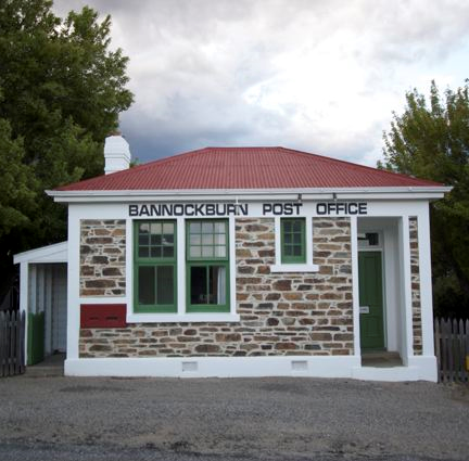
About Bannockburn
Bannockburn is situated in Central Otago, about one hours drive from Queenstown in the South Island of New Zealand. It has a very arid climate
with hot dry summers and very cold dry winters.
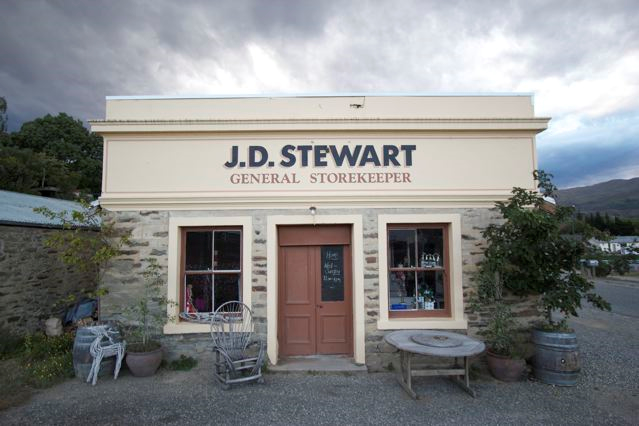
The area had a pastoral beginning in 1858 with the formation of the Kawarau Station lease operated by a group of wealthy men in Scotland who
farmed sheep. In 1862, the Dunstan gold rush - started by Hartley and Reilly finding 87 pounds (39.4kg) of gold nearby on the Clutha River - saw
Bannockburn become a gold mining based settlement, with a local population peaking at around 2000 in the 1870s. The inhabitants came from
places such as Scotland, the Shetland Isles, Cornwall, Lancashire, Australia, California and Europe. Many were farm workers, stone masons, tin,
coal, gold or iron ore miners.
The alluvial miners then discovered quartz gold drifts on the Carrick Range and a new rush was on. The advent of steam to drive machinery was made
easier with the discovery of coal reserves which then started a coal mining industry. This was followed by a gold dredging boom in the creeks and
the river, fuelled by coal fired steam dredges. As the gold ran out it was replaced by coal mining for domestic use. Stone fruit orchards along with
pastoral farming of dairy, then sheep and deer, followed.
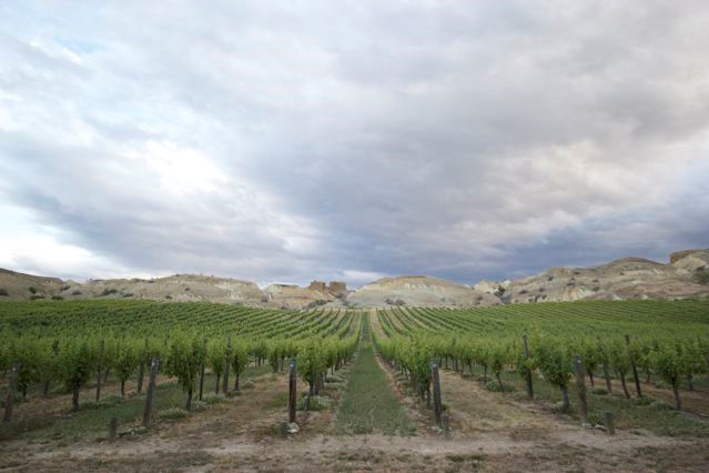
In 1990 the Centrol Otago wine industry became established with extensive plantings in Bannockburn. The area continues to win world acclaim for its
wine, particularly Pinot Noir. Cherries and olives are also now grown along with the traditional apricots.
About Paul Crump
Paul Crump is a 67-year-old (in 2016) retired design draftsman who was born and educated in Wellington. He worked for the Ministry of Works, Head Office,
Power Division, becoming qualified as a Civil and Structural Draftsman. Projects he was involved with included the New Plymouth and Huntly
thermal stations along with the Manapouri and Clutha Valley hydro developments.
In 1975 Paul was transferred to Cromwell to help set up the site office for the Clutha Valley Power Development Project. In 1980 he purchased a block
of land in Bannockburn which had habitation links dating back to the 1860s along with an historical cottage, which he set about to renovate. At this time
Paul became fascinated with the local history of Bannockburn and embarked on this research project. As the Clyde Power Project got under way, he became part
of the site design team working on the formwork and structural design for the largest concrete dam in New Zealand. In 1988 as the Clyde Dam was nearing
completion, Paul became involved in monitoring landslides on the reservoir margins as an Instrument Technician, designing, installing and operating monitoring
equipment.
Paul continues to work on this research project and, along with his partner Betty, run sheep and chooks on their small holding. His other interests include
collecting and restoring vintage vehicles.